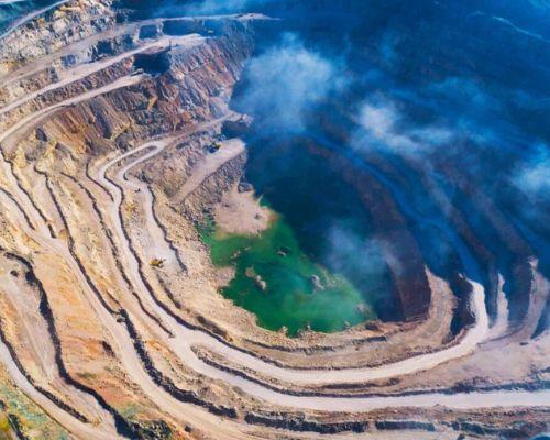
Services

Thermal Cameras

Drone technology can diagnose the building envelop in a fraction of the time of traditional techniques such as wind, solar or confined spaces. Thermal imaging detects and diagnoses hidden problems and reveals opportunities to save energy in your home or building.

Autonomous flight

To become expert pilots, people need to have an in-depth knowledge of complex aerial digital imagery, normalized differential vegetation index software or have to rely on third party crop constants. However Autonomous flight function solves most of these issues.

Information systems

Drones normally carry video cameras and G.P.S system. it is suitable to use geographical information system, which is designed to capture, store, manipulate, analyze, manage, and present all types of spatial or geographical data.

Renewable Energy

Inspection drones give us a way to ensure regular monitoring of equipment at height, providing a significantly safer option than to send up an engineer when it’s not required. When it is necessary to send someone up to repair or place such equipment, the data and imagery provided by the aerial survey can significantly reduce the time required and potentially diagnose issues in advance.

Plot Mapping

Survey drones generate high-resolution orthomosaics and detailed 3D models of areas where low-quality, outdated or even no data, are available. They thus enable high-accuracy cadastral maps to be produced quickly and easily, even in complex or difficult to access environments.

Telco Industry

Drones may also be used for radio planning and line-of-sight testing, with line-of-sight referring to a direct line of sight between two antennas. Using the technique, for example, different impediments that weaken radio signals, such as trees, buildings, and hilltops, may be discovered and avoided. This data may then be used to calculate the best position and height for an antenna. Drones may also be used to assist & restore telecommunications infrastructure after a disaster.

Join Us

Drone Pilot Training

Any drone above 250 grams must now have drone pilot training in order to operate in India. High fines, seizure of the drone you are flying, and potentially even jail are possible when operating a drone without the required certificate. So get your certification done now!

Roads & Highways

By the operations of monitoring, surveying, and mapping, drones collect useful data for mapping. Furthermore, this records the areas and details that have been subject to damage. On identification, drones also perform tasks of delivering small tools and gear for repair.

Government Services

Implementation of drone technology requires an inclusive and collaborative approach that involves aspects like governance, strategic planning, security, regulation and proper awareness. Successful implementation of drone technology requires participation from various stakeholders.

Precision Agriculture

Precision agriculture refers to how farmers manage crops to optimize productivity, quality, and yield while ensuring the efficiency of inputs such as water and fertilizer. The word also refers to reducing pests, floods, and illness. The procedure for mapping or surveying crops with a drone is pretty simple. Many modern agricultural drone models include flight planning software that allows the operator to create a circle around the region that has to be covered. The program then generates an automatic flying route and, in certain situations, even prepares camera pictures.

Connect with Us

Drone Repair Service

We take great pleasure in our ability to quickly repair almost any UAV while charging fair costs. Our service involves a thorough examination of your aircraft to identify any problems and necessary repairs.

Mining Industry

In coal mines, drones can be used to detect hot spots in coal stockpiles to assess potential spontaneous combustion areas and enable personnel take prevemptive measures. Drones can further aid in watershed management, blast planning, haul-route surface optimization and emergency response.

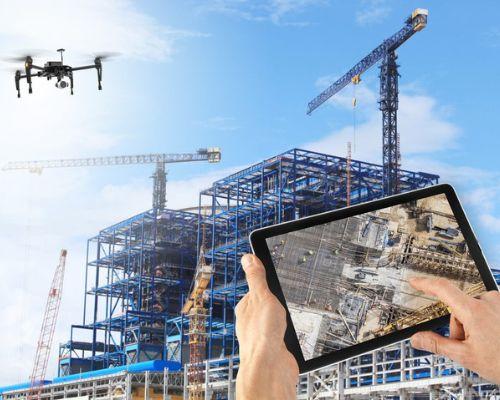
Construction Industry

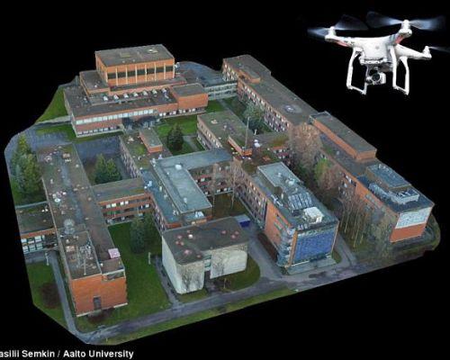
In the world of the ever-growing construction site industry, planners and architects often employ drones as a real-time tool to observe their progress and to corresponds with their vision and imagination. The information acquired also encourages developers and construction site businesses to track their inventory.

Security Industry

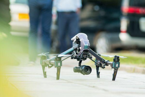
Drones on patrol, live stream HD video to the system and can detect intruders as far as 400 m from a POI with thermal cameras. They can also be dispatched to a location flagged by a VMS in response to an incident alert.
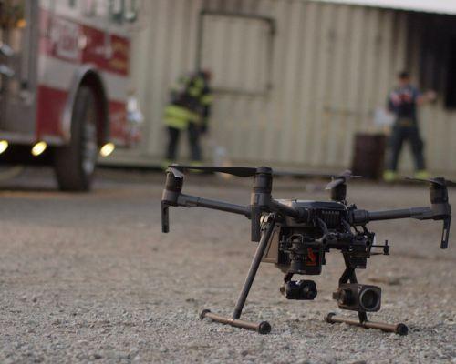
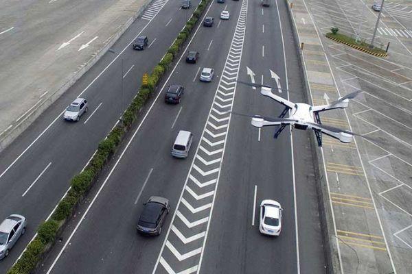
Public Safety

Drones are being safely integrated into our national airspace for recreational, commercial, and public safety uses. However, unauthorized operations can cause potential hazards to people and property both in the air and on the ground.

Insurance Industry

With negligible human involvement, drones can record high-quality videos and capture high-resolution images even in difficult-to-access locations and transfer data quickly. The following five points highlight the benefits of drones in insurance, especially in the claim process.

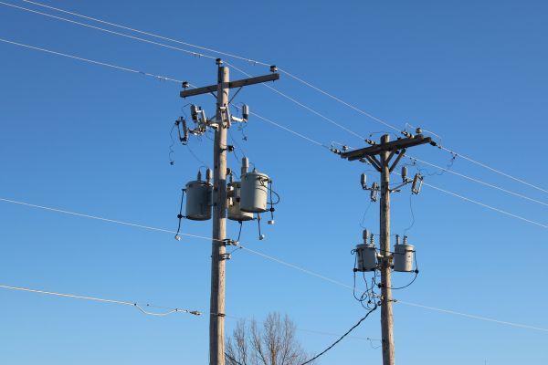
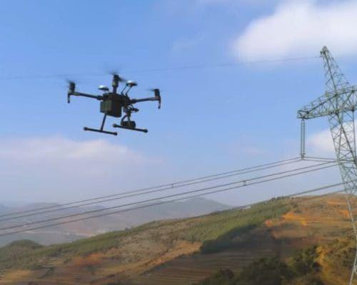
Powerline Inspection

The inspection of high voltage power transmission lines is mainly carried out by manned aerial vehicles or foot patrol. However, these maintenance methodologies for inspection are somehow inefficient and expensive. Moreover, helicopter assisted inspection endangers the human life.